HORIZON KRONOS X1

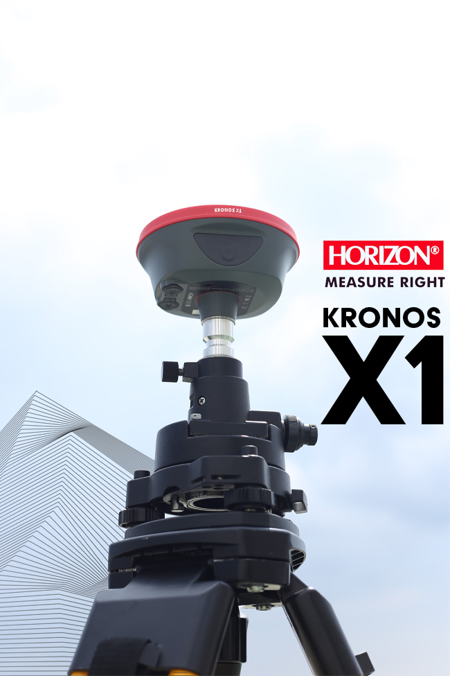
HORIZON KRONOS X1

Accurate | Reliable | Fast
Packs small & plays powerful

KRONOS X1 is a multi frequency and new generation of GNSS with New Algorithm for reaching to the best Accuracy with high reliability and fast Kronos X1 design for reaching to best accuracy in the challenging environment and urban usage , with New Internal radio no need to using external radio because new one can cover up to 15km under our protocol, and you can control your receiver by WebUI and export your files without any cable , Kronos X1 is one of the smallest complete GNSS by light weight.
New Generation, New Technology, New Standard.

Key features:

  • New HORIZON GEN3 Algorithm
  • Full Constellation GNSS receiver
  • Support 1408 channel
  • Design for rach to high accuracy in challenging environment
  • Internal radio with a range of up to 15 km
  • Multi-Protocol internal radio
  • High-precision IMU
  • On-board multipath mitigation
  • Bluetooth(TM) 5th Generation Connection
  • high performance in challenging environments
  • Support 4G network
  • Web User Interface software

New Technologies

Kronos X1 features a new HORIZON GEN3 algorithm for superior accuracy in challenging environments. Its innovative design ensures reliability in city, powerline, and harsh conditions, while extending the range to CORS or your base station

Long range radio

With Kronos X1's new internal radio, distance is no longer a concern. The radio can cover up to 15km from the base station under our protocol, supporting a complete frequency range from 410-470MHz with a multi-protocol solution. This means X1 can connect to all GNSS brands.

IMU RTK GNSS Solution

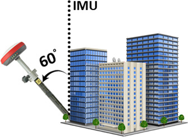
For inaccessible, dangerous, or uneven terrain, Kronos X1 offers an IMU option. This allows you to collect points with high accuracy in unlevel conditions or any where , up to 60 degrees. Ensuring you don't miss any data, even in challenging environments

Multi frequency GNSS KRONOS X1

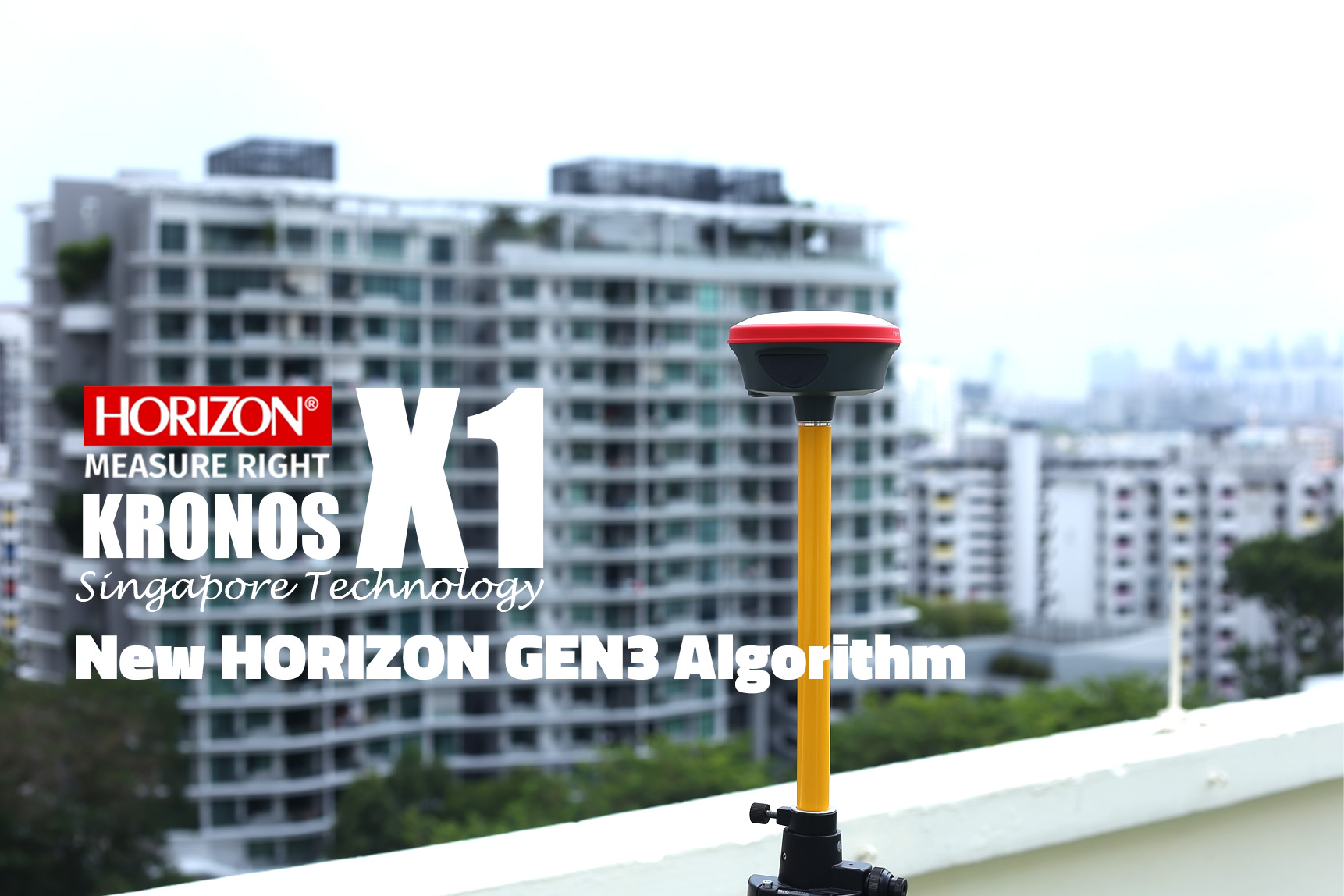
New HORIZON GEN3 Algorithm

With the new upgraded powerful core processing unit designed, developed and made in Singapore, this system is built for speed, accuracy, reliability and precision, for simplicity and intuitive use, and designed to fulfill all of the requirements of GNSS survey work even in harsh environments eg. Thick Canopy and high rise buildings in the surrounding.

Kronos X1 is compact and lightweight; Supports 1408 channels; New Horizon GEN3 Algorithm that delivers exceptional accuracy & unwavering reliability and with the built-in internal radio working up to 15km, all your long distances survey works within 15km can be carried out with ease

Powerful at tracking Satellite Signals

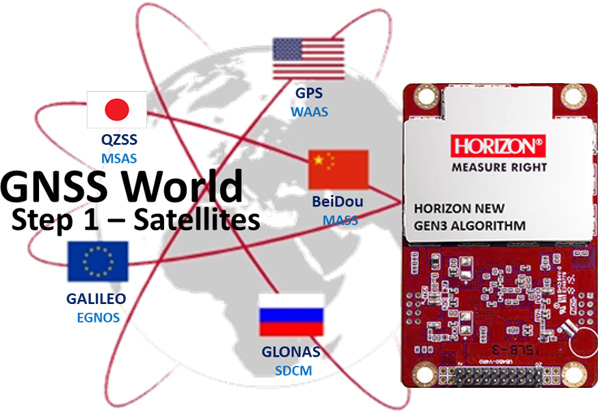
The KRONOS X1 leverages Horizon technology with a new algorithm (GEN3) to achieve high accuracy in challenging environments. With 1408 channels, it tracks all positioning satellites, including GPS, GLONASS, BeiDou, and Galileo, ensuring precise positioning. Its innovative design enhances precision, enabling reliable and efficient surveying even in demanding conditions

Hi-tech in mainboard

- Support 1408 Channels
- GPS: L1 C/A,L2C,L2P,L5
- GLONASS: L1 C/A,L1P,L2C/A,L2P
- GALILEO: E1,E5a,E5b
- BEIDOU: B1,B2,B3,B1C,B2a,B2b
- QZSS: L1,L2C,L5
- SBAS: WAAS,EGNOS,MSAS,GAGAN,SDCM
- IRNSS: L5

Super powerful internal radio

Because the KRONOS X1 has a high-tech, long-range internal radio with a range of up to 15 km, it eliminates the need for an external radio in many projects. The internal radio uses multi-protocol technology and can be matched with any radio between 410 and 470 MHz. This means you can easily enter your base frequency into your rover device without any limitations.

Long Range Internal Radio (410-470 MHZ)

- multi protocol Like Trimtalk 450s | Trimtalk III | Horizon15 |Satel
- range work up tp 15km
- Low noise technology
- manually input frequency

IMU-RTK GNSS

KRONOS X1 is equipped with new IMU technology, enabling data collection in dangerous or inaccessible areas where level mode is impractical. The system incorporates the latest IMU technology, which automatically initializes at startup, eliminating the need for a fixed solution. This feature ensures efficient and convenient measurements while maintaining stable performance, delivering consistently reliable results, you can collect all data in this mode with IMU up to 60 degree in high speed.

Precision IMU GNSS

- Collect point with IMU technology up to 60 degrees.
- Collect and stake out points without leveling the pole.
- Fast and accurate measuring in a hard environment.
- There is no need to calibrate like on the old model.

Powerful mapping Software

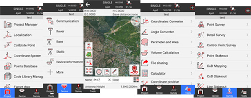
Map Pro Software is designed for professionals and beginner surveyors with a customizable interface, offering user-friendly, simple software with high capability. Map Pro supports Google Maps and WMS Maps, allows you to stakeout on your DXF map, and enables you to export your collected data in a variety of formats and extensions.

Professional Surveying Software

- Support for static | RTK | PPK | N-RTK | UHF-RTK
- IMU stores point up to 60 degrees
- Global Coordinate Systems Library
- Google Satellite and Vector Map | Open Street Map
- Comprehensive import/export format map:
SHP|DXF|KML|KMZ|GPX|TXT|CSV
- Stakeouts include points, lines, surfaces, cad stakeouts, and road stakeouts.
- The entire Tools menu: offset point, resection, intersection, or extension point
Site-Calibration wizard
- NMEA output for connecting to an echosounder
- voice and audible prompts
- Multi Languages

Professional and Rugged Android Controller

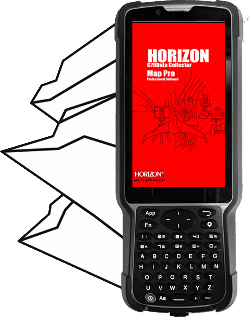
The S60 pro is a new controller that is versatile for any working environment and can rust. S60 pro comes with an impervious battery for working all day and mapping. This controller has IP67 protection and is as tough as a rock. S60 Pro supports SIM cards for internet connectivity, the keyboard on S60 Pro makes it easier to type and enter codes, and it is protected by a hard cover.

Rugged and Resilient

- Support Android 11.0.
- 5" sunlight-readable display
- 5point capacitive touch screen
- 700 mAh batteries last 36 hours.
- Bluetooth 5.0 (BLE) generation
- Fast chargers are supported.
- IP67 standard
- G sensor, ambient light sensor, proximity sensor, compass
- equipped with a rear and front camera for geotagging data.

Professional Surveying Software

Kronos X1, featuring the cutting-edge New HORIZON GEN3 Algorithm and advanced hardware. This state-of-the-art surveying tool empowers surveyors to swiftly obtain highly reliable data, with a rapid initialization time of under 5 seconds. The newly integrated Multi-Consolation main board boasts an impressive tracking capability of 1408 channels, while the addition of a high-performance radio extends its operational range to an outstanding 15 kilometers. No longer requiring an external radio, the Kronos X1 is versatile and ideal for diverse projects. Enhanced by the intuitive Map Pro software, the Kronos X1 ensures a user-friendly experience and provides a comprehensive solution for all your mapping requirements. Additionally, the inclusion of an Inertial Measurement Unit (IMU) option eliminates the need to maintain the device level at each data point. The Kronos X1 is an invaluable asset for surveyors seeking efficiency and accuracy in their projects.

Start typing to see products you are looking for.