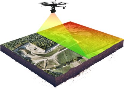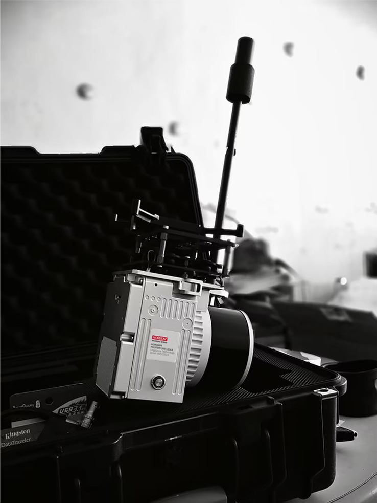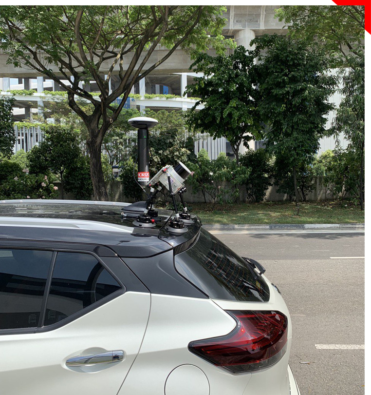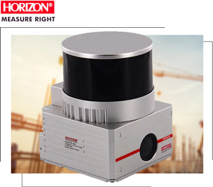
HORIZON PHOTON 300
Hi performance Mid range LiDAR with highest Accuracy IMU
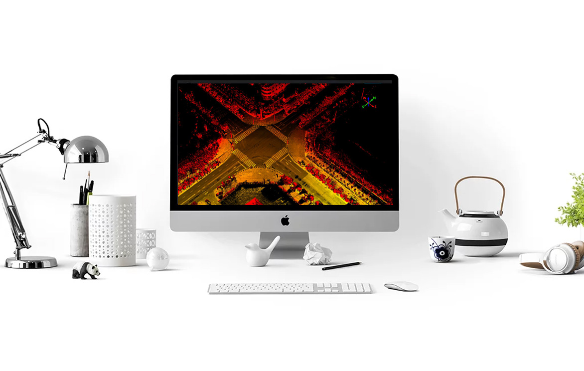
Fly and Drive | Support triple echo | High density colorful point cloud
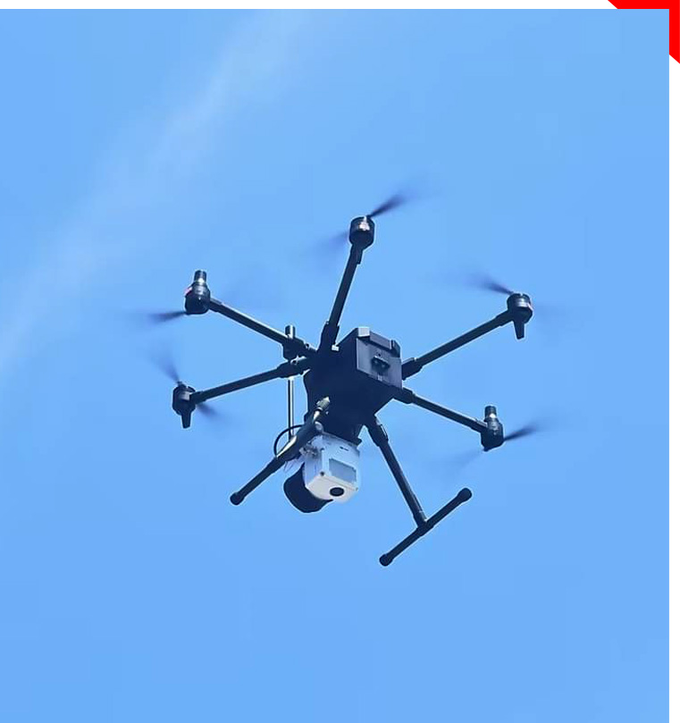
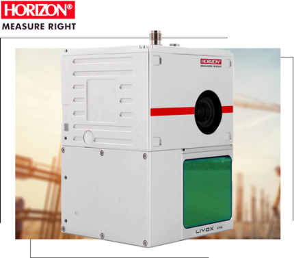
Hi performance Mid range LiDAR with highest Accuracy IMU
Fly and Drive | Support triple echo | High density colorful point cloud