HORIZON PHOTON M120

PHOTON M120 SLAM LiDAR

Built small, plays HUGE.

The HORIZON PHOTON M120 offers a full 360°x270° point cloud coverage, thanks to its 360-degree horizontal and 270-degree vertical range. With an industry-grade SLAM algorithm and three RGB cameras, it captures precise texture and color data, making it perfect for surveying and modeling in indoor and outdoor environments. It's the ultimate tool for creating accurate maps and 3D models, and performing inspections in tunnels, forestry, refineries, and more.

Key features:

  • Scans up to 120m
  • SLAM algorithm suitable indoor and outdoor
  • Support Dual echo, 640,000 Points/Sec
  • High Accuracy and Integrated IMU 200hz
  • Pitch/Roll accuracy 0.015
  • Head accuracy 0.040
  • FOV 360° circular
  • internal battery or Power bank(Simple power supply)
  • GNSS: GPSL1/L2/L5 GLONASS L1/L2 BDS B1/B2/B3 GAL E1/E5a/5b
  • 3 RGB Built in Camera for a color point cloud generation
  • User friendly trajectory software and processing
  • Long life battery

Long range laser

PHOTON M120 is equipped LiDAR sensor with Dual echoes can measure up to 120m by recording 640,000 points/s, supporting Single and Dual laser returns technology.

IMU and GNSS

with new SLAM technology , the PHOTON M120 can be used in areas with poor GPS – such as indoors, underground or outdoors. it help’s you to work without control point.

integrating with camera

PHOTON m120 equipped with 3 RGB camera it can cover the wide field of view of the scanner, obtaining coloured point cloud for detect texture better.

High-Density Point Cloud, High-Precision IMU, and GNSS for Exceptional Lidar Results

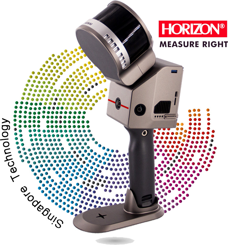
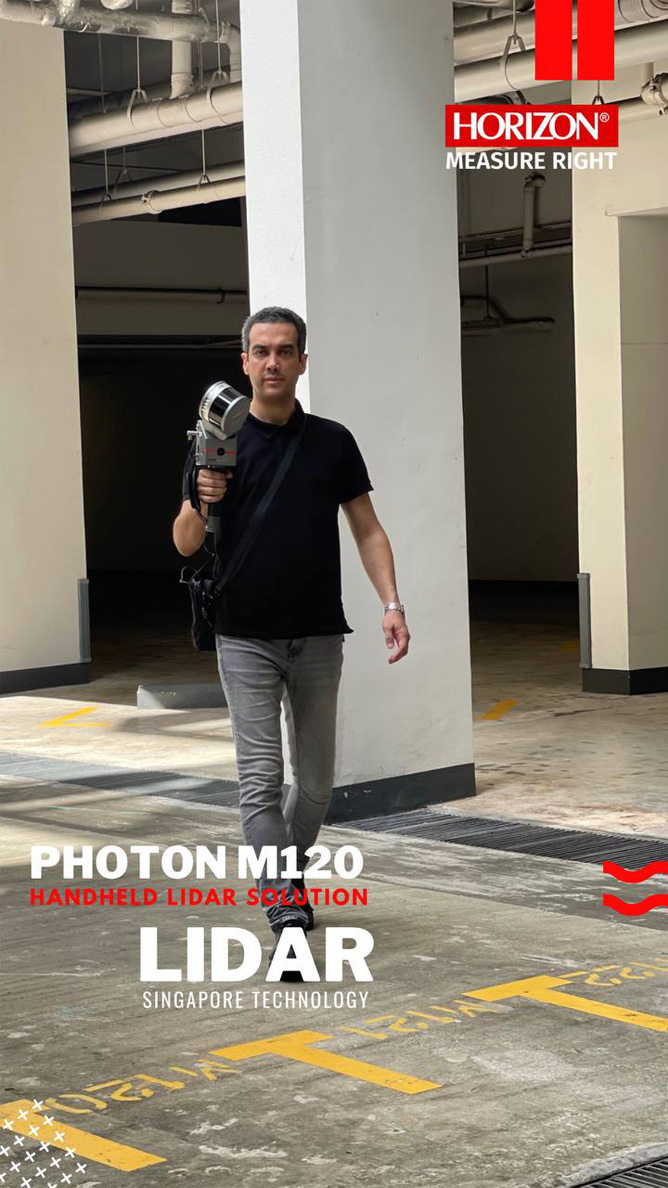
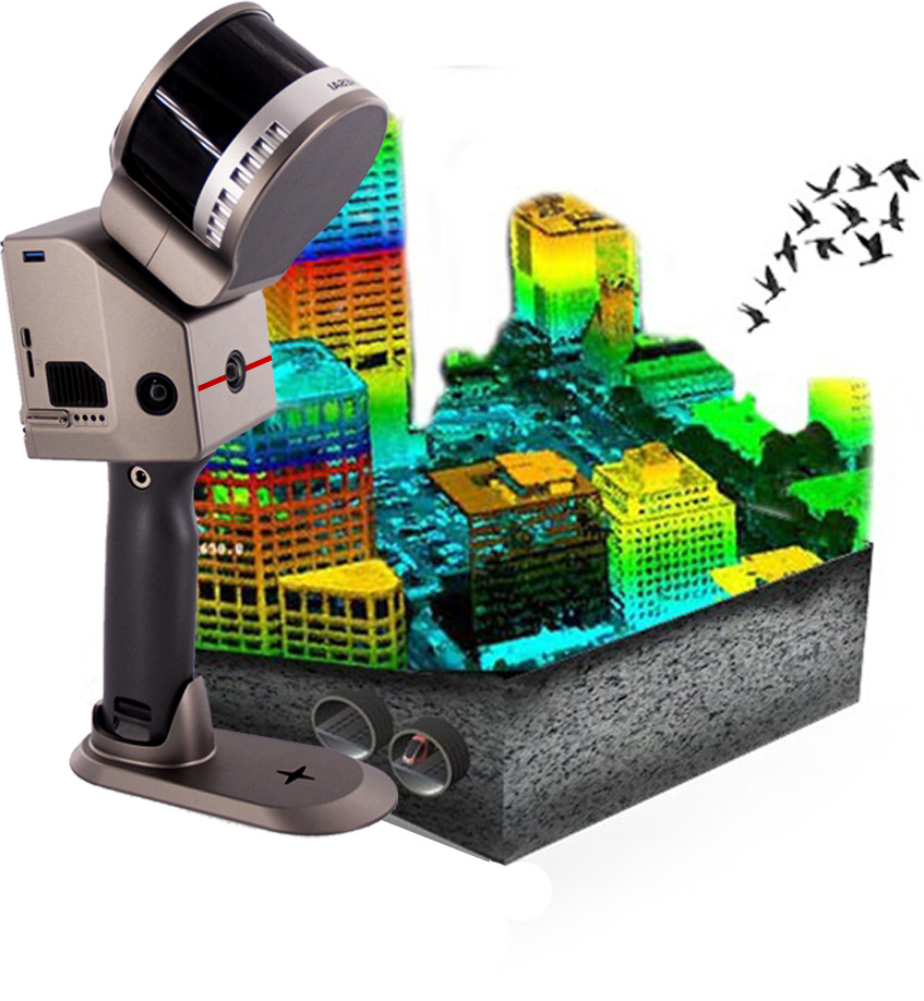
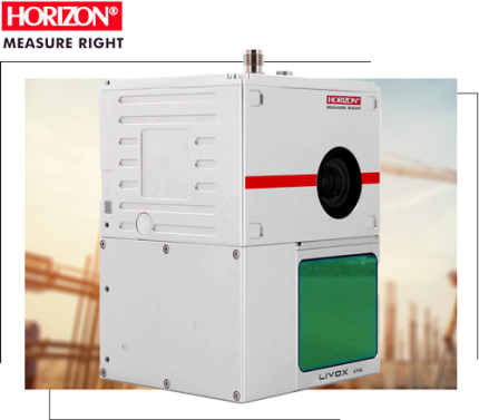
Introducing the Slam handheld Laser scanner - equipped with a cutting-edge camera system that provides unparalleled precision and versatility. The device features three advanced RGB cameras that work seamlessly to produce high-quality scans.

With a horizontal field of view of 360 degrees and a vertical field of view of 270 degrees, the cameras can capture intricate details from every angle. The synchronized texture information obtained by the cameras enhances the accuracy of the scans and allows for the creation of color point clouds and partial panoramic images.

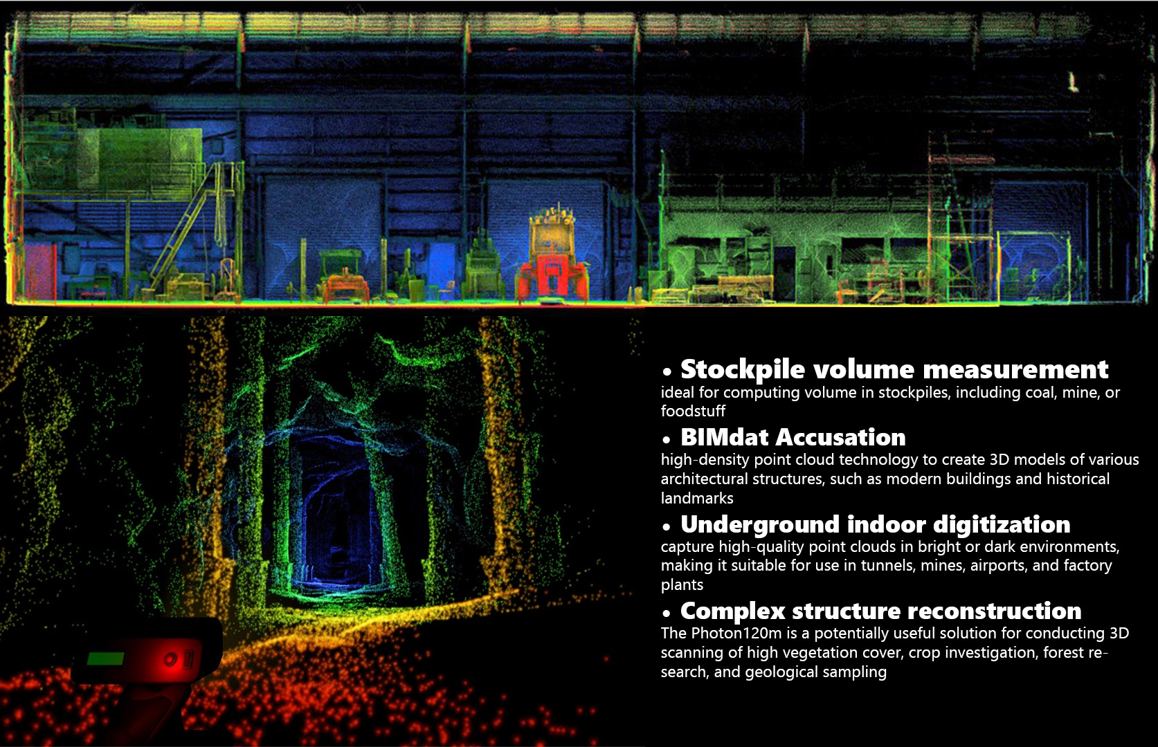
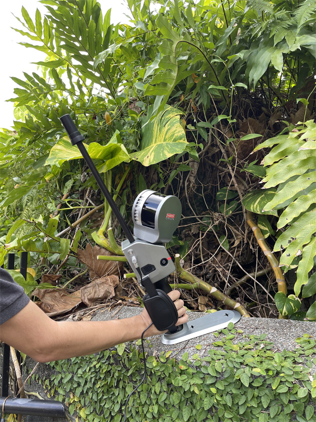
These features make the Slam handheld Laser scanner an ideal choice for a wide range of applications, including architecture, construction, and manufacturing. The device can quickly and accurately capture complex geometries and intricate details, saving time and effort. With its powerful camera system, the Slam handheld Laser scanner is the ultimate tool for any professional looking to streamline their workflow and deliver outstanding results.

SLAM Algorithm and Automatic Control Point

PHOTON M120 is a cutting-edge technology that leverages industry-level SLAM post-processing algorithms to produce incredibly precise and finely-detailed 3D point cloud data. With this powerful tool, there's no need to manually add control points. PHOTON M120 can actively collect and automatically extract control points, making it easy to georeference data in the global coordinate system. If you're looking to take your data processing to the next level, PHOTON M120 is the perfect solution..

Continuous working

The Photon M20 boasts an impressive feature set, primarily characterized by its extended runtime of over 90 minutes for uninterrupted operation and remarkable ability to seamlessly resume scanning from any break-point. This eliminates the need for segmented scanning in vast scenes, significantly enhancing measurement and data analysis efficiency.

Software

User friendley Processing Software

HORIZON
PROCESSING SOFTWRE

One Key Processing Technology

This is a powerful software for point color preprocessing that enables you to create LAS files. This software automates the detection of your data and offers seamless processing of trajectory information using IMU, GNSS, and other relevant data source.with its user friendly interface, Lidar Master makes it easy to optimize your point cloud data.it allows you to generate visually appealing and accurate 3D models by incorporating color information and integrating all available data sources.

  • Easy to operate
  • Strip Adjust
  • Diverse calculation
  • Autonomous coordinate
  • Fast calculation speed
  • Compatible with most of the LiDAR data
  • Application: Forestry, Powerline, Mine, Urban ....

Application

Forestry, Power Line, Mine, Urban ...

In a Nutshell...

he PHOTON M120 harnesses SLAM technology, enabling seamless scanning in a diverse range of indoor and outdoor conditions, with an impressive range of up to 120 meters. This robust device collects a remarkable 640,000 points per second, further enhanced by its RGB cameras, which enrich the point cloud with vibrant textures, enhancing object detection. What's more, its versatile power options include an internal battery for convenience and compatibility with power banks, ensuring uninterrupted project continuation without the need for a dedicated power supply.

Start typing to see products you are looking for.