HORIZON SEAHAWK2

SeaHawk2

Cost effective and reliable Boat for Hydrography

SeaHawk 2 unmanned surface vehicle (USV) is a portable and efficient tool for bathymetric surveys in various bodies of water. Its master control unit provides seamless 4G communication, enabling operation beyond the limitations of traditional network bridge base stations. The SeaHawk2 also features a dual GNSS positioning and heading sensor, stable hull attitude, and high-efficiency motors, allowing uninterrupted surveying even in adverse conditions.

Key features:

  • One Man System Hydrography Boat
  • Support Full GNSS RTK
  • Support Base Station for RTK
  • Equipped to Obstacle Avoidance
  • Equipped to camera
  • Equipped to Single Beam Echosounder
  • Equipped with 2 brushless motor
  • Operation time around 4 hours

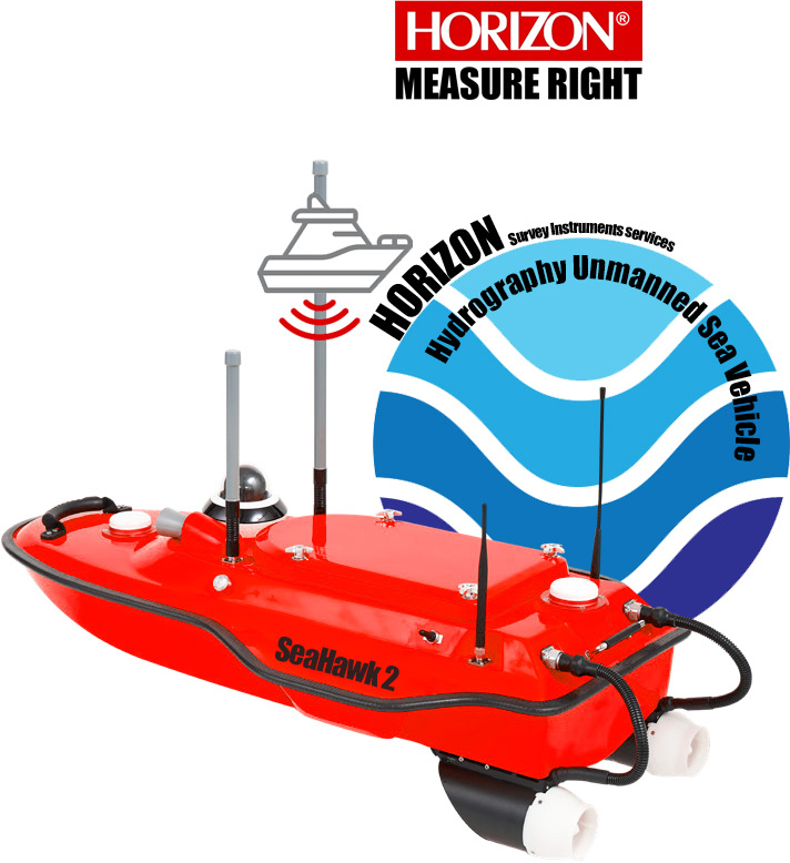
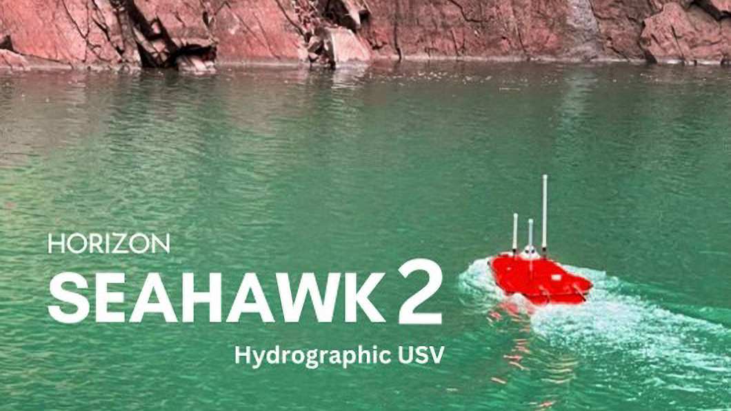
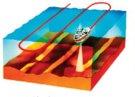
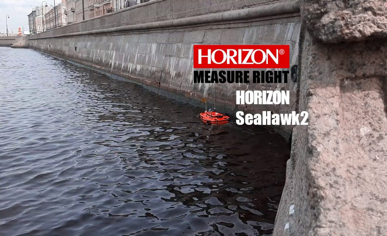
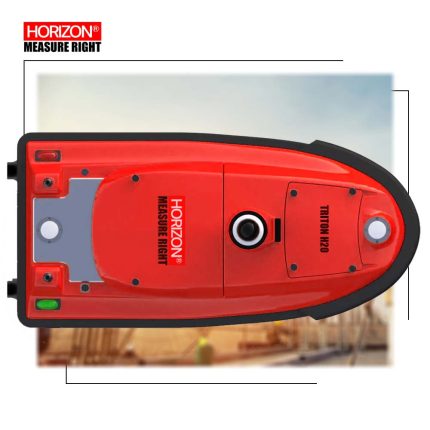
SeaHawk2 unmanned surface vehicle (USV) is designed for bathymetric surveys in various bodies of water such as lakes, inland rivers, and coastal areas. It features a shallow-draft hull and a single beam echo sounder, making it a portable and efficient tool for field work.

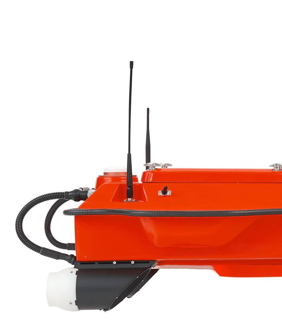
One of the key features of the SeaHawk2 is its master control unit, which enables seamless 4G communication. This means that the vehicle can operate beyond the limitations of traditional network bridge base stations and transmission distances, making it easier to conduct surveys in remote or hard-to-reach areas.

The SeaHawk2 USV also boasts a dual GNSS positioning and heading sensor, a stable hull attitude, and an IMU sensor. These features allow uninterrupted surveying even when passing under bridges. Additionally, its high efficiency 5 m/s motors and absolute straight-line technology enable it to navigate predetermined courses autonomously, even under adverse current and flow conditions.

ENSURING ACCURACY IN AUTONOMOUS BATHYMETRIC SURVEYS WITH ABSOLUTE LINEAR TECHNOLOGY

To achieve high accuracy in autonomous bathymetric surveys, the integration of high-precision GNSS positioning and heading technology is crucial. Absolute Linear Technology combines GNSS and heading data to provide reliable data, even in challenging marine environments. This technology enables surveying teams to streamline their operations, maintain data quality, and minimize risk to personnel.

High performance Echosounder for all survey projects purpose.

single beam echo sounder simplifies hydrographic surveying and increases productivity. Designed for shallow water bathymetric surveys, it features a sounding accuracy of ±0.01 m + 0.1% x D and a detection range of 0.15 m to 200 m. The system's advanced water depth analysis algorithm automatically filters out secondary echoes and its professional depth-keeping configuration eliminates noise interference. Additionally, the gain, power, and range are automatically adjusted for optimal performance, making it an ideal tool for organizations seeking to streamline their surveying operations.

ENHANCING SURVEY OPERATIONS WITH HIGH-EFFICIENCY MARITIME DESIGN PROPULSION

High-efficiency maritime design propulsion is crucial for conducting survey operations in various water conditions. The DC-injection rotary motor technology used in this design provides a 40% increase in energy conversion efficiency, ensuring optimal performance. Its anti-collision design and anti-corrosion properties make it extremely durable in harsh marine environments. By incorporating this technology, surveying teams can improve their efficiency, extend their operational range, and collect reliable data in challenging marine environments.

In a Nutshell…

The SeaHawk2 USV is a versatile and reliable tool for conducting bathymetric surveys. Its features make it well-suited for a range of field work applications, including those in various water and project settings.

With SeaHawk2, high accuracy is achievable for your projects, making it a cost-effective and trustworthy option. Additionally, a variety of communication options are available for connecting to your USV, and data can be controlled from long distances. Correction messages can also be sent with a base station for RTK goals in hydrography.

Start typing to see products you are looking for.