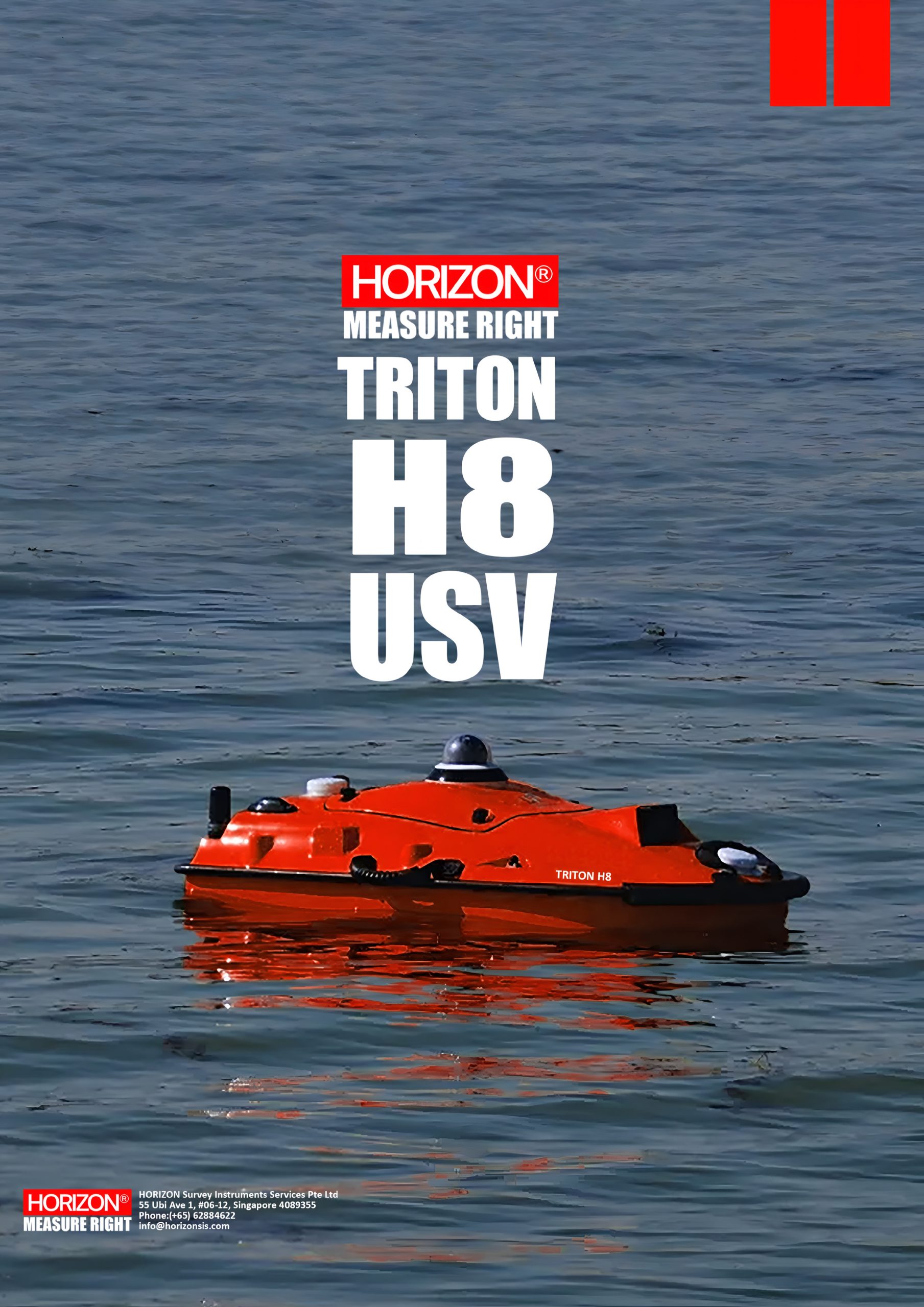
TRITON H8

High-performance one-man system Professional and intelligent USV

Measure up to 200m | UHF and Ntrip RTK | Obstacle avoidance | 360-degree camera

Categories: ,
Description

TRITON H8

Professional one man system Hydrographic USV

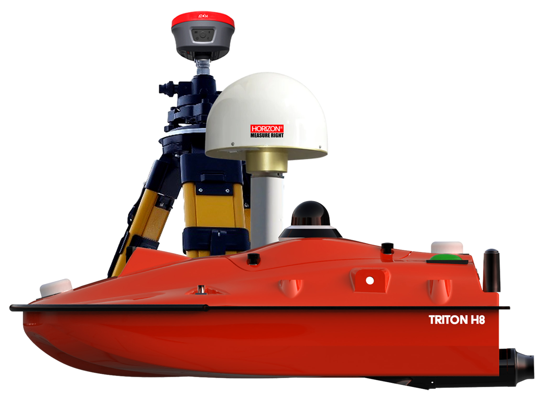
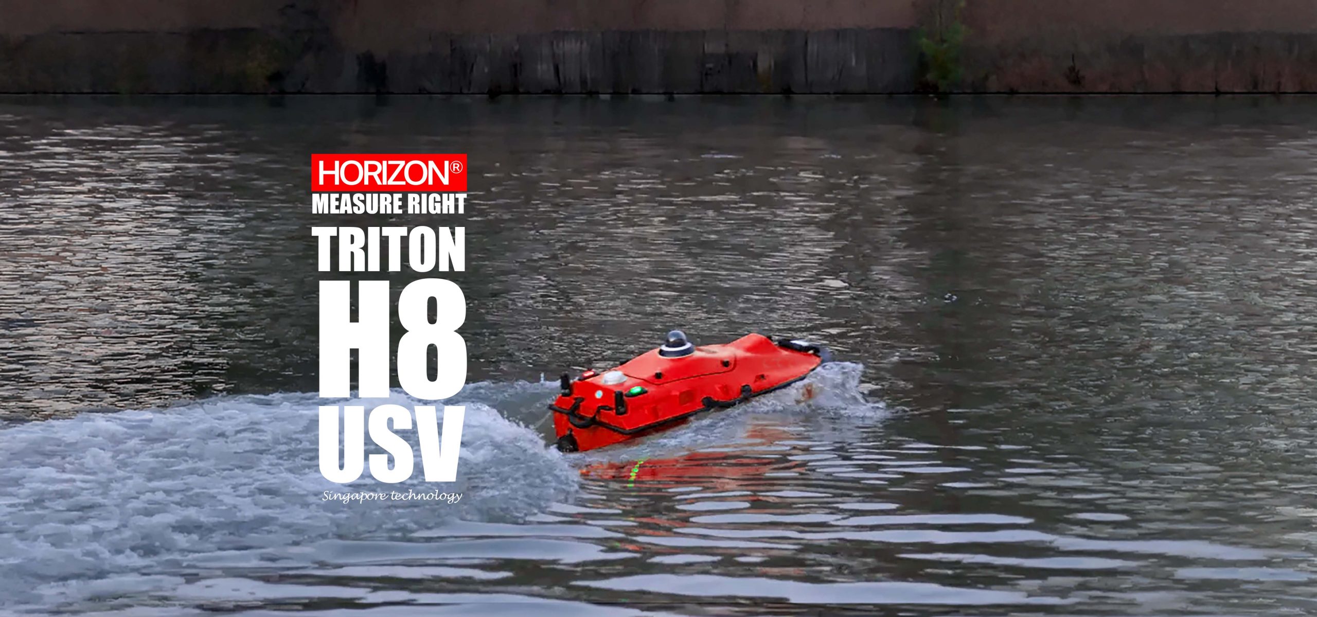
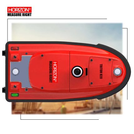
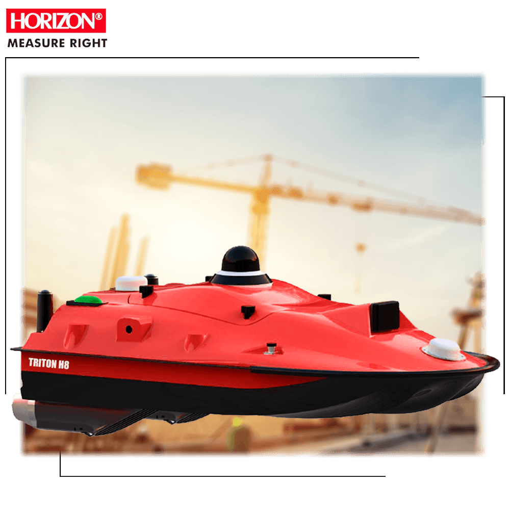
The TRITON H8 is a compact and portable Unmanned Surface Vehicle (USV) designed for hydrographic surveying and bathymetric mapping. Equipped with autopilot, dual GNSS, motion sensor, 360° camera, and obstacle avoidance technology, it delivers reliable performance, high accuracy, and safe autonomous operation in challenging environments.

Key Features:

  • Single-frequency echo sounder with depths up to 300 m
  • Multi-payload support: Single Beam Echo Sounder, Side-Scan Sonar, LiDAR
  • RTK positioning via UHF radio and CORS networks
  • Dual GNSS antennas for precise navigation and heading
  • 4G/5G and 2.4 GHz telemetry communication
  • Data transmission range up to 4 km
  • Real-time video and survey data monitoring
  • 360° day and night camera
  • Intelligent obstacle avoidance system
  • Maximum speed up to 7 m/s
  • Automated mission planning and navigation
  • Integrated processing software with tide correction

The TRITON H8 combines portability, versatility, and precision, making it an ideal solution for hydrographic and environmental survey applications.

USV

Safety First

TRITON H8 features an intelligent obstacle avoidance system with obstacle detection and tracking. Built-in fail-safe functions, including shallow-water protection and automatic communication-loss response, ensure safe and reliable operation, enabling the USV to return to its home position with high accuracy.

Smart Positioning and Navigations

TRITON H8 features an autopilot system with GPS navigation, live telemetry, motion sensor, and dual GNSS antennas. RTK positioning is supported via UHF radio or CORS network for enhanced accuracy and can be integrated with any RTK GNSS receiver without brand limitations.

Design for highest Stability

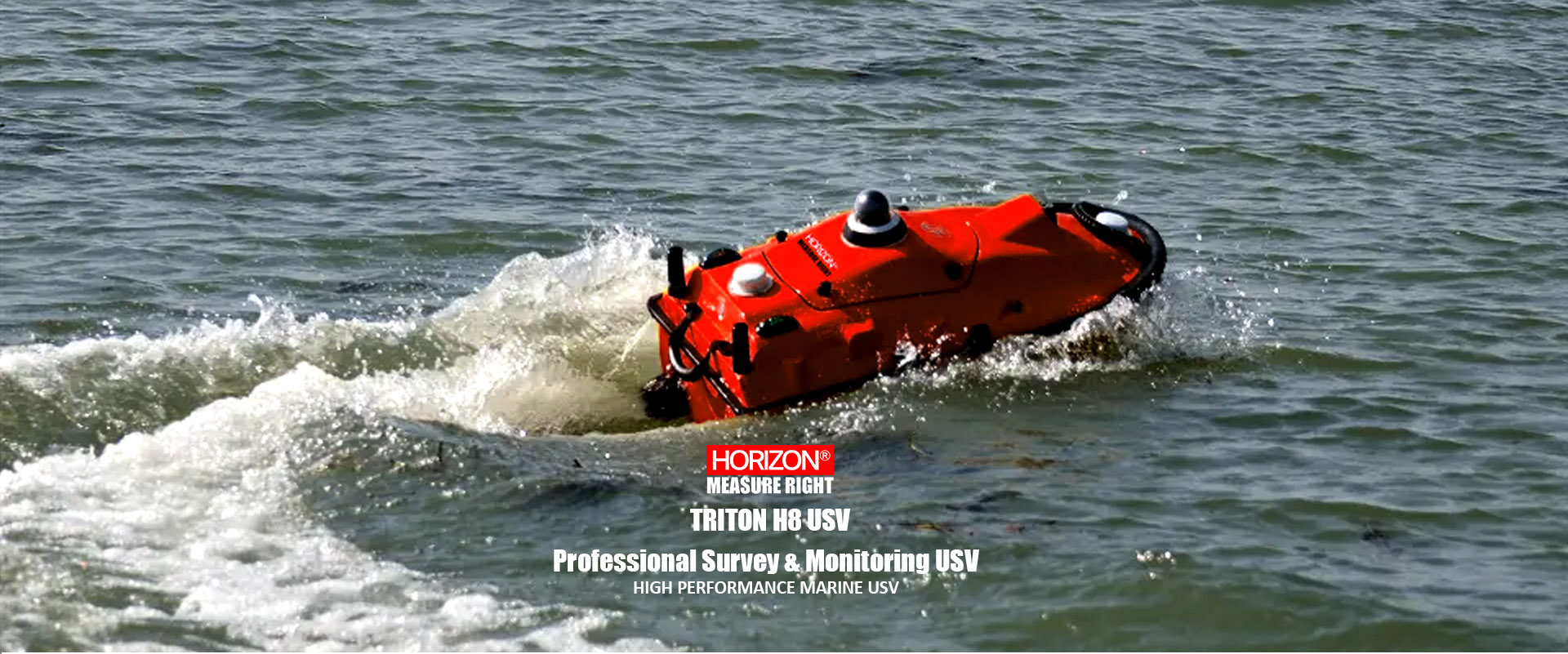
TRITON H8 features an M-shaped hull design and dual debris-resistant motors, providing excellent stability in waves and windy conditions. The motor system is designed for easy maintenance, allowing quick access for cleaning debris, weeds, or ropes that may become entangled, helping to improve reliability motor lifespan

Triton H8

The TRITON H8 is a compact, one-man-portable Unmanned Surface Vehicle designed for hydrographic surveying, environmental monitoring, and data collection missions. Its lightweight, shallow-draft design enables efficient operation in rivers, lakes, reservoirs, and coastal waters.Supporting a wide range of payloads, including Echo Sounders, Side-Scan Sonars, ADCPs, and LiDAR systems, the TRITON H8 offers a flexible and efficient survey platform. Equipped with a high-precision autopilot system and long-range wireless communication, it delivers reliable navigation, real-time data transmission, and dependable mission performance.

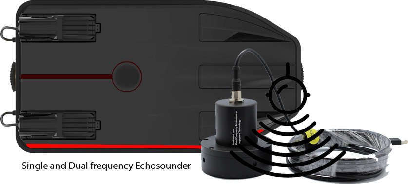
Single Beam Echosounder

  • The TRITON H8 features a 200 kHz single beam echo sounder with 300m depth range options, delivering accurate and reliable depth measurements.
  • Its proprietary Synthetic Beam processing improves bottom detection and target discrimination for clearer depth readings, while Bottom Contrast View enhances seabed interpretation.
  • The system includes onboard processing software in the controller, allowing data processing without the need for external software.
  • Built-in interference protection uses an advanced algorithm to ensure stable performance near motors.

RTK positioning solution

  • The TRITON H8 USV is equipped with a POS system combining dual multi-frequency GNSS and an IMU sensor for high-accuracy positioning, navigation, and data capture.
  • It supports 4G/LTE and NTRIP network RTK corrections, achieving centimeter-level accuracy. The system can receive correction data via internal radio base station or connect directly to CORS networks.
  • With dual GNSS antennas, the TRITON H8 delivers improved heading stability and positioning performance for both navigation and data acquisition.
  • The system is fully compatible with any RTK solution brand without limitation.
RTK
USV

Smart Safety & Autonomous Navigation

The TRITON H8 is equipped with a 360° day & night camera and a millimeter-wave radar system for real-time obstacle detection and collision avoidance. All monitoring data is displayed on the base station for safe operation.

It can automatically detect obstacles, choose a safe path, or return to its original route when clear. The system also includes shallow-water detection, low-battery auto return-to-home, and fail-safe return in case of communication loss with the controller.

Integrated GNSS, IMU, camera, and radar sensors work together to ensure intelligent, reliable, and secure autonomous navigation.

Remote Controller
Triton navigation Software

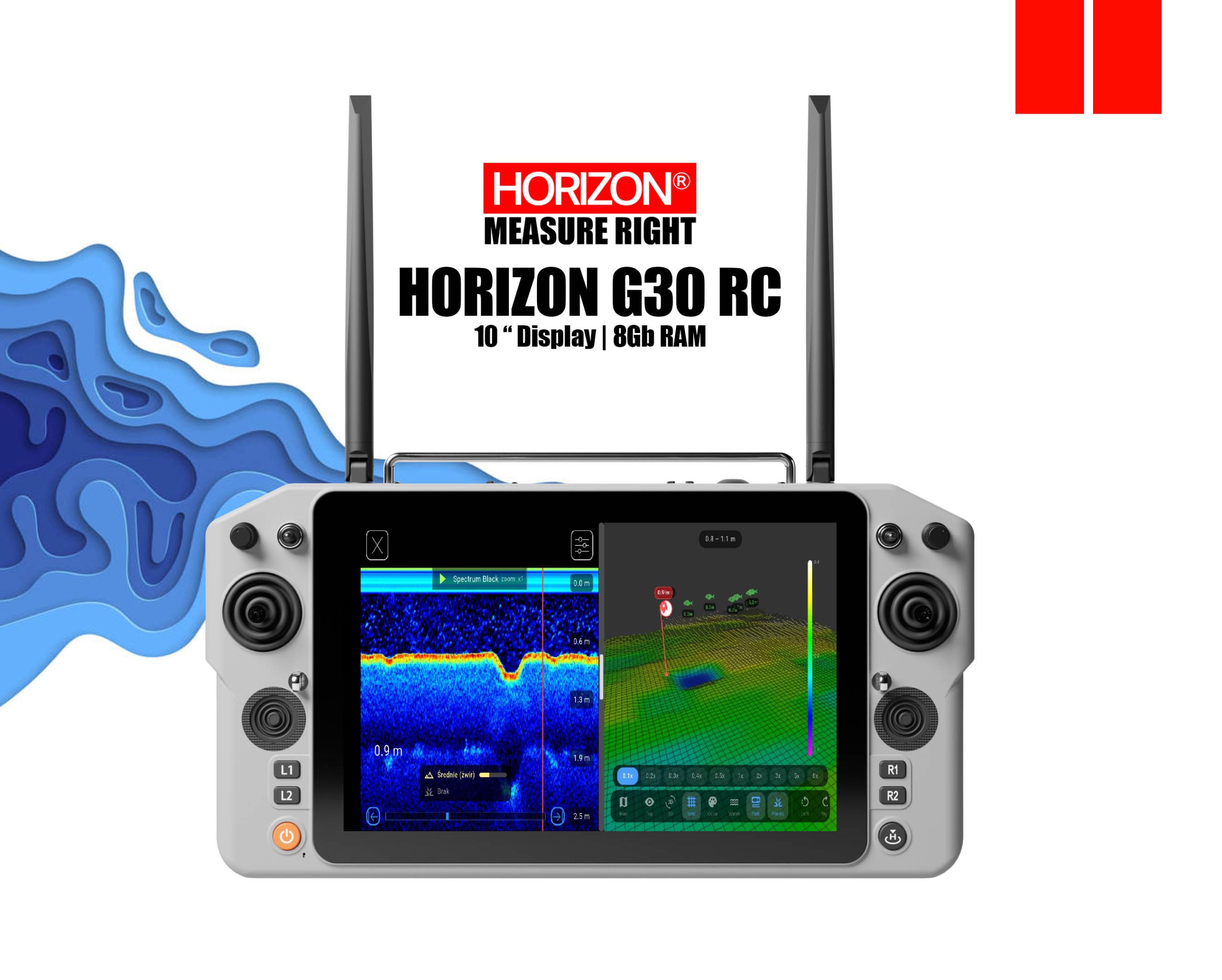
HORIZON G30 Remote Controller

The G30 Remote Controller is a professional control unit designed for operating and monitoring the TRITON USV. Featuring a 10-inch display, 8 GB RAM, and multiple communication options, it provides reliable performance for navigation, mission planning, and real-time vessel control.

Key Features

  • 10.1 inch high brightness touchscreen display
  • 8 GB RAM for smooth operation
  • Built-in SIM card slot for 4G connectivity
  • Supports long-range communication with the TRITON USV
  • Dual-band wireless communication (2.4 GHz & 5.8 GHz)
  •  Equipped with Android 14 operating system 
  • Real-time navigation and mission monitoring
  • Reliable remote control of the USV
  • User-friendly interface for efficient operation
  • Rugged design suitable for field applications
  • Seamless integration with the TRITON USV platform
  • Stable communication in various operating environments

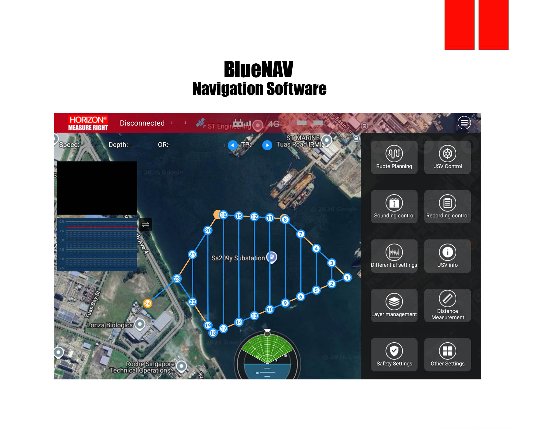
BlueNAV Software

BlueNAV is an all-in-one navigation and post-processing software designed for efficient USV operations. It provides everything needed to control the vessel, plan missions, collect survey data, configure safety settings, and process data directly in the field.

Key Features

  • Complete USV navigation and mission control platform
  • Connectivity with the USV via 2.4 GHz radio link or 4G network
  • Supports a wide range of coordinate systems and map projections
  • Manual input of custom coordinate systems and projection parameters
  • Integrated payload control with no additional software required
  • Route planning and mission setup tools
  • Import survey areas using KML and DXF files
  • Real-time echo sounder data display and monitoring
  • Live 360° day and night camera video streaming
  • Configurable safety settings, including Return-to-Home (RTH) functions
  • Automatic and manual data processing with one-click operation
  • Export survey data in customizable output formats

In a nutshell

The TRITON H8 is a compact, one person operated USV designed for hydrographic surveying and bathymetric mapping. It supports multiple payloads, including single beam echo sounders, side scan sonar, and LiDAR systems, and features long range telemetry and obstacle avoidance for safe and efficient operations. As a complete turnkey solution, the TRITON H8 provides accurate and reliable survey results without requiring additional equipment.


Triton
Shipping & Delivery

MAECENAS IACULIS

Vestibulum curae torquent diam diam commodo parturient penatibus nunc dui adipiscing convallis bulum parturient suspendisse parturient a.Parturient in parturient scelerisque nibh lectus quam a natoque adipiscing a vestibulum hendrerit et pharetra fames nunc natoque dui.

ADIPISCING CONVALLIS BULUM

  • Vestibulum penatibus nunc dui adipiscing convallis bulum parturient suspendisse.
  • Abitur parturient praesent lectus quam a natoque adipiscing a vestibulum hendre.
  • Diam parturient dictumst parturient scelerisque nibh lectus.

Scelerisque adipiscing bibendum sem vestibulum et in a a a purus lectus faucibus lobortis tincidunt purus lectus nisl class eros.Condimentum a et ullamcorper dictumst mus et tristique elementum nam inceptos hac parturient scelerisque vestibulum amet elit ut volutpat.